Construction capture
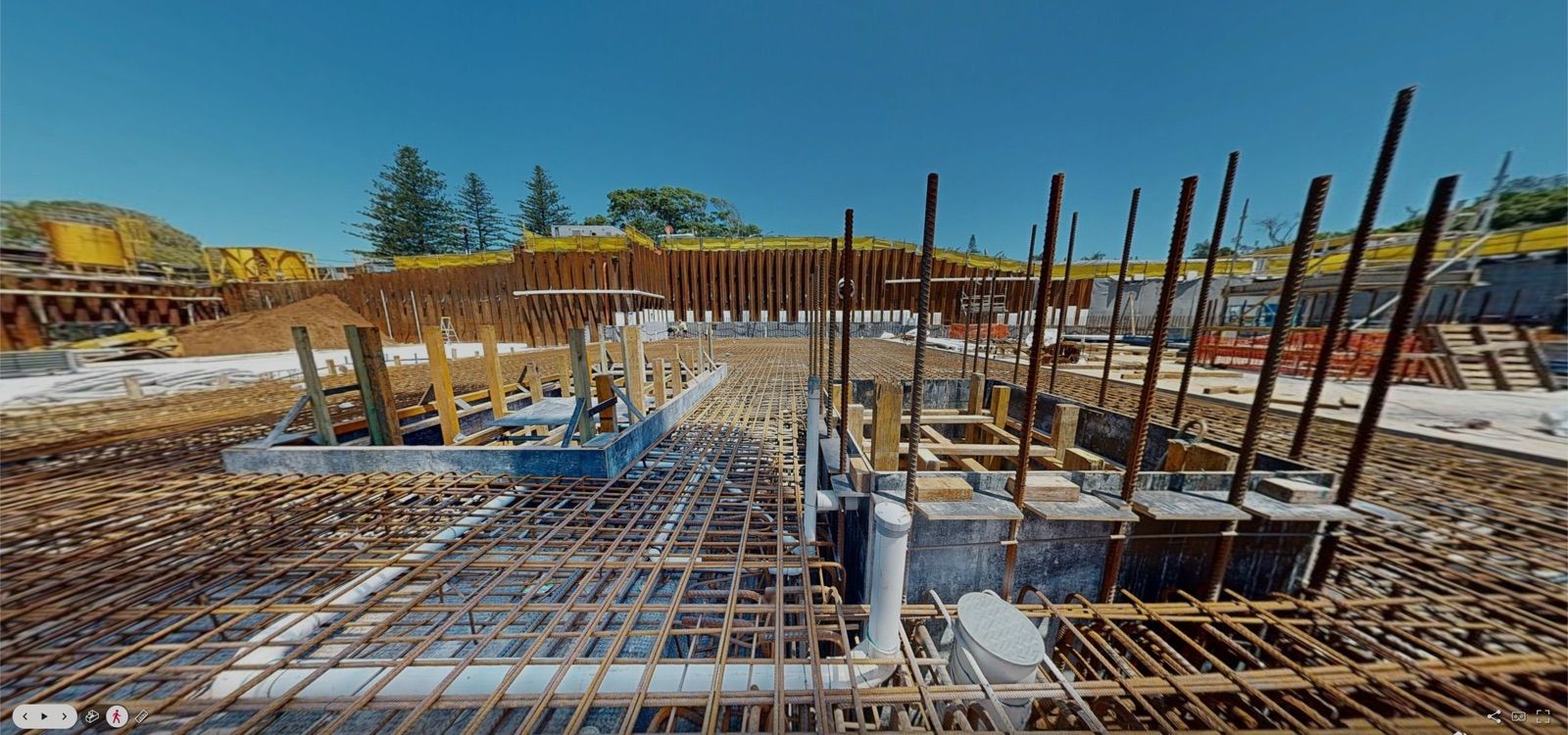
Five stages of a build, from existing conditions and pre-slab to handover, each on a dated record.
Construction captureGold Coast · Brisbane · Northern Rivers and beyond
Services
From existing conditions and construction progress to point clouds, Scan-to-BIM and aerial documentation, Kybos captures the site data AEC teams need to design, coordinate, verify and hand over with a clear record.
Last updated
Pick the one that fits the job, or combine them. Each page explains what you receive and how it works.
Five stages of a build, from existing conditions and pre-slab to handover, each on a dated record.
Construction capture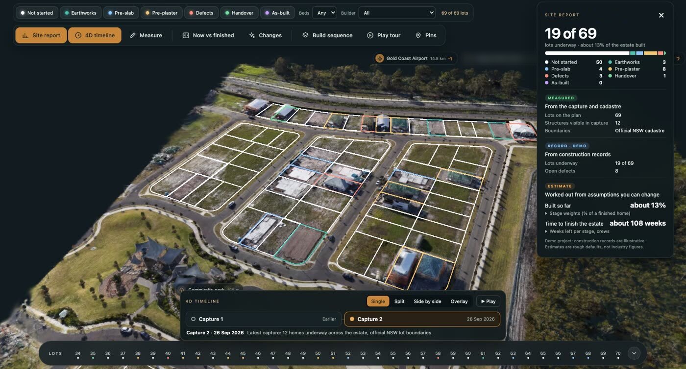
Your whole site as one interactive 3D map: every lot, stage and capture in one link.
Site Atlas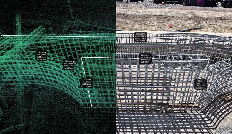
Registered E57, RCP and LAS datasets, typically 10–20 mm accurate.
Point cloud survey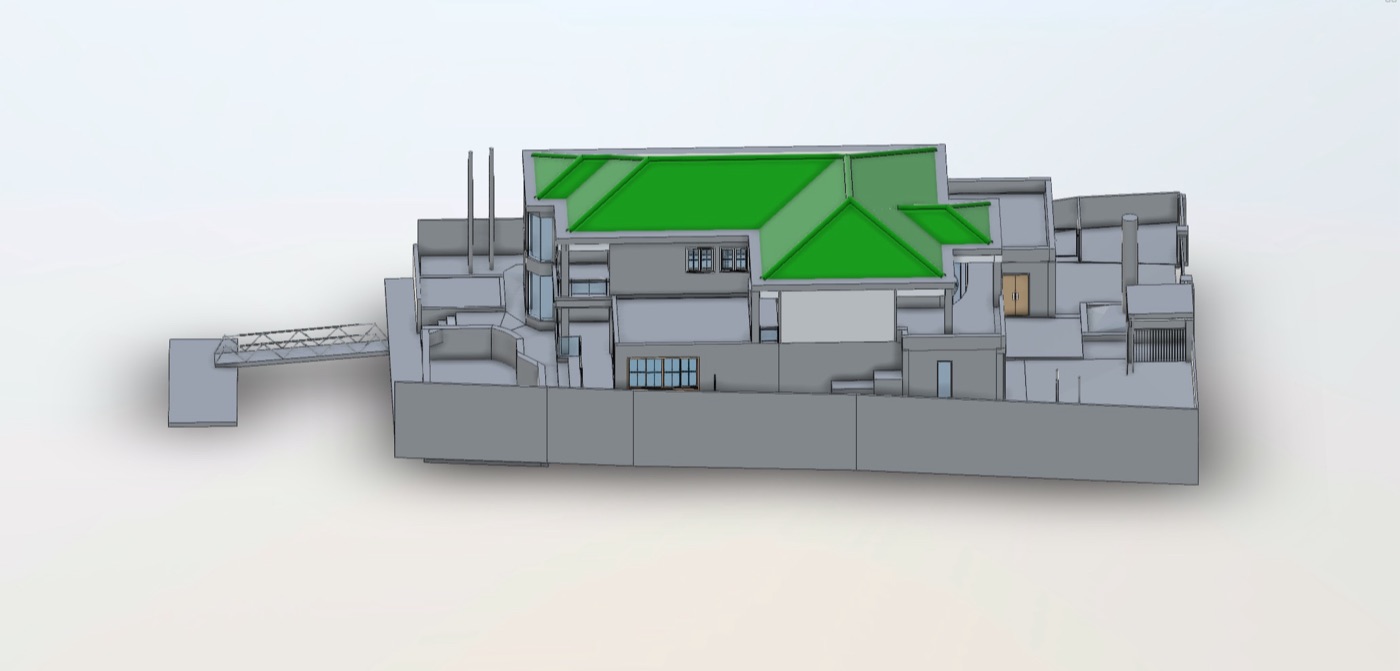
As-built Revit and IFC models at LOD 200–400, from a scan of the existing building.
Scan-to-BIM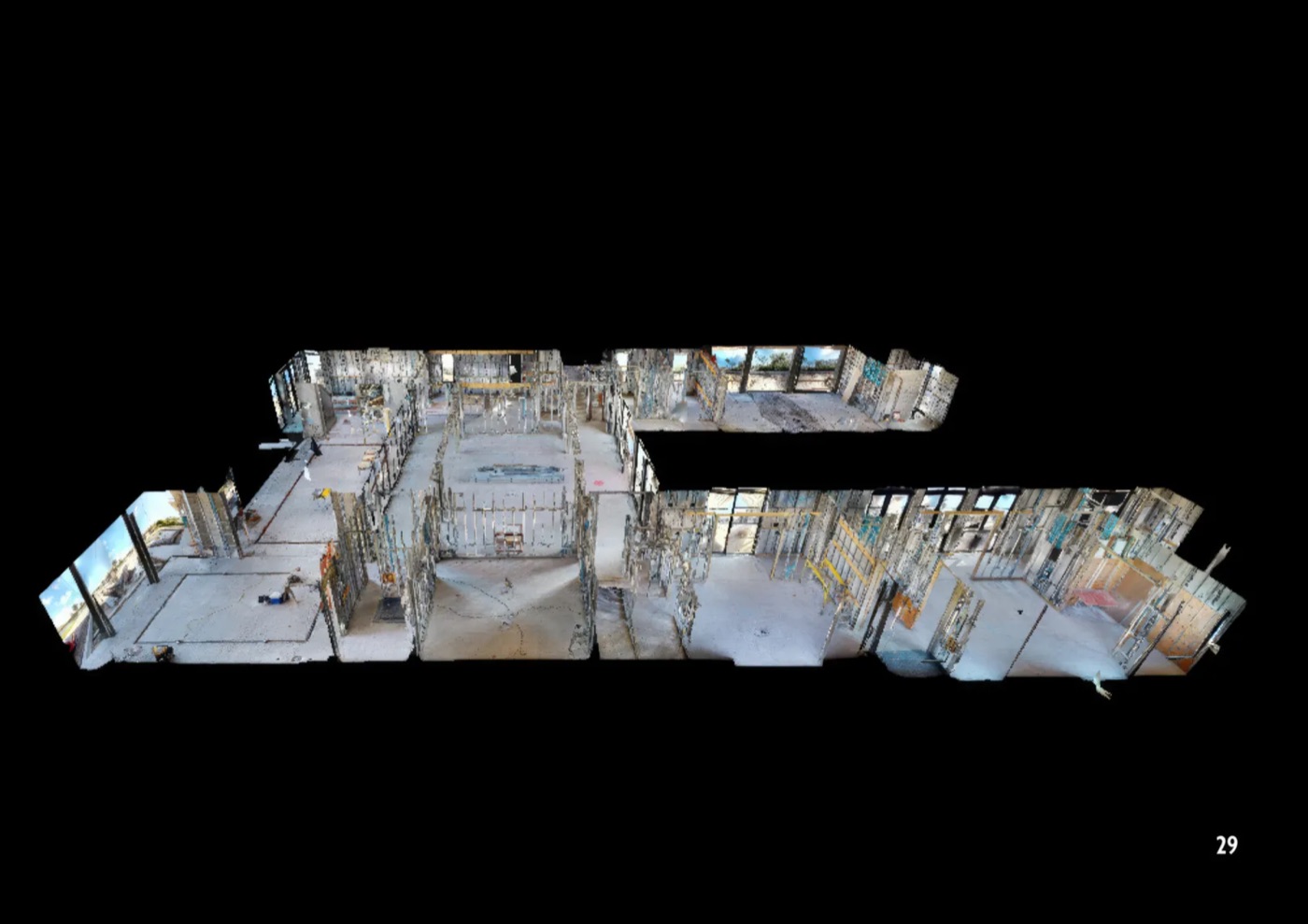
A 3D record where every asset is pinned with its condition, photos and documents.
Asset management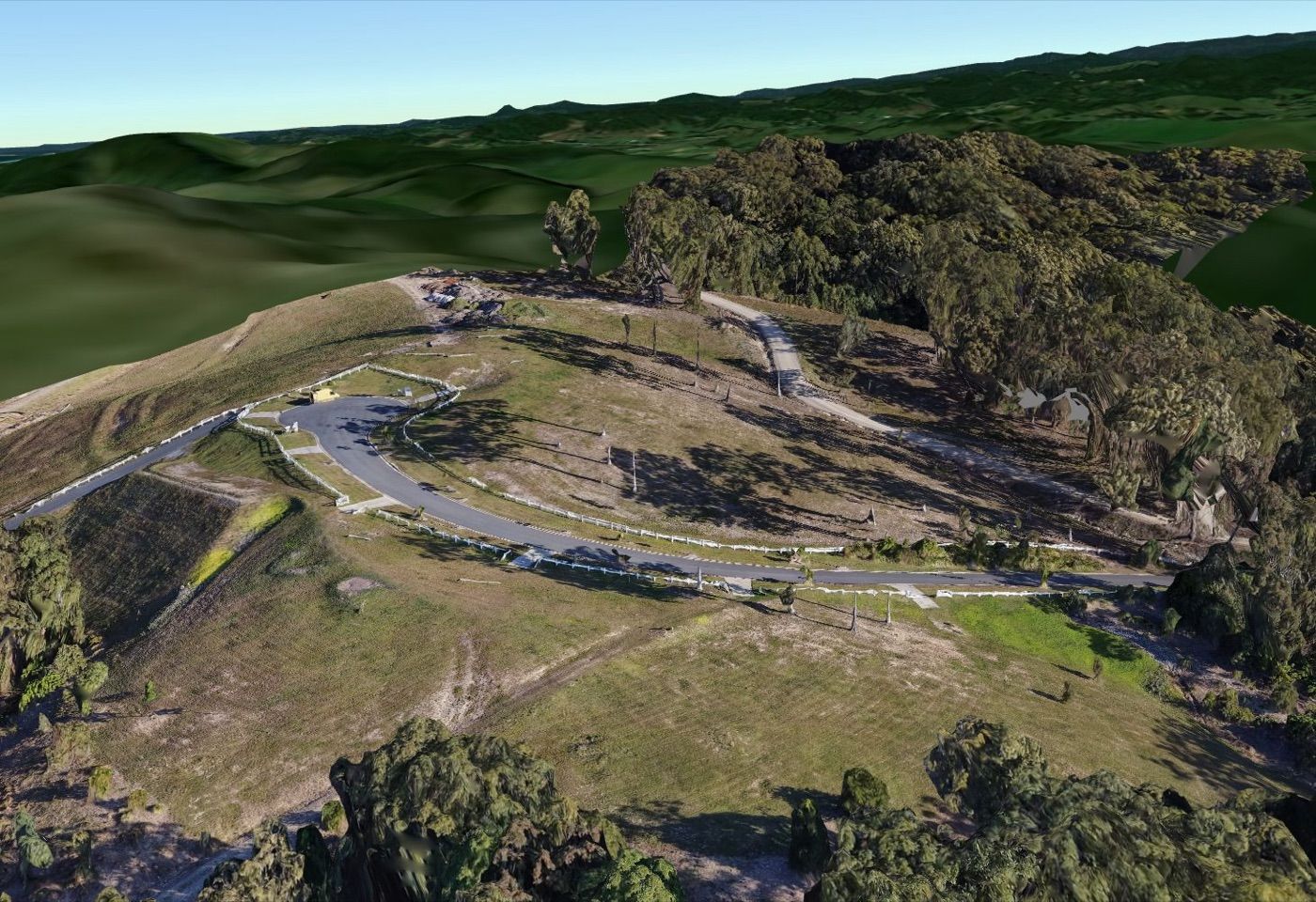
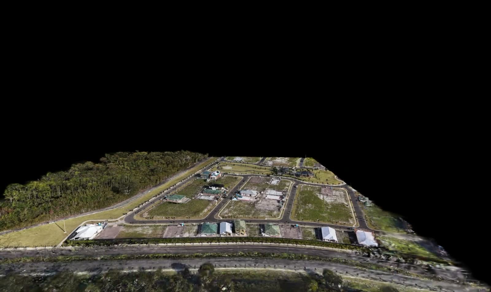
Mapping, 3D site models and progress aerials, flown under CASA licence.
Aerial & drone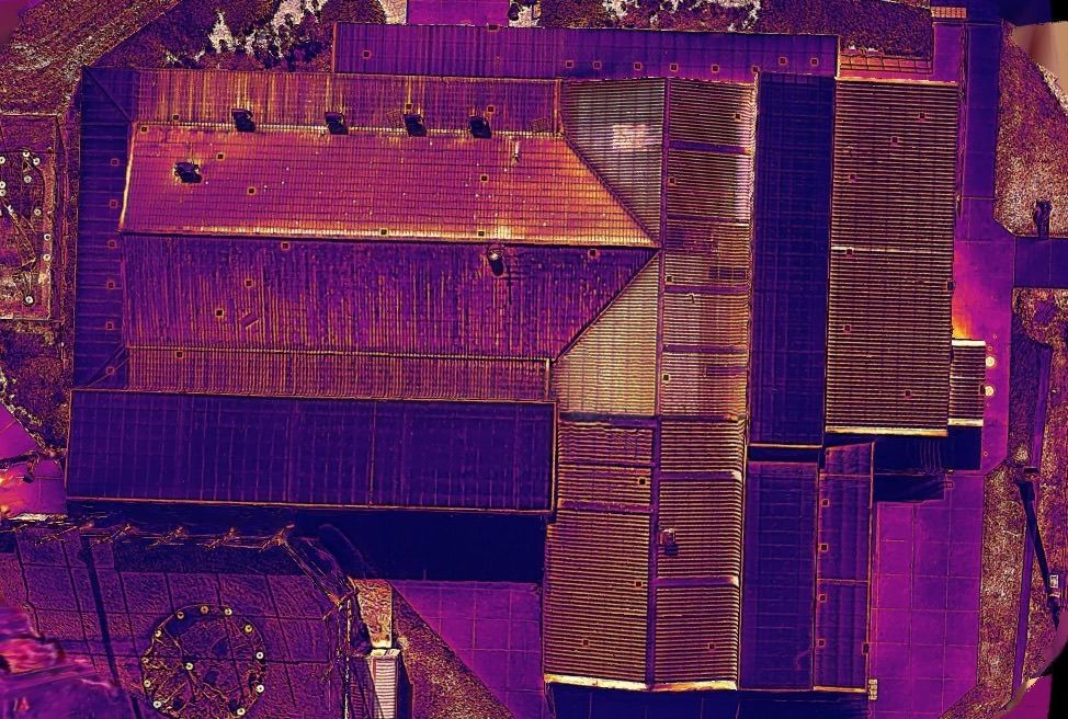
Roofs, facades and solar checked from the air, with no scaffold or roof access.
Thermal inspection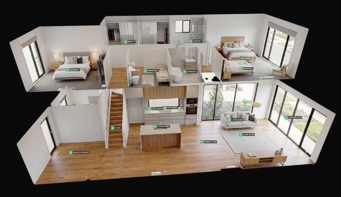
Walk-through tours for real estate, display homes and hospitality venues.
3D walkthroughsQuote back to you within 24 hours.
Get a quote