Realsee panoramic LiDAR. One visit, every deliverable.
One-shot LiDAR cameras that turn a space into a high-resolution 3D tour and an accurate point cloud in a single visit. Built for property, as-builts, digital twins and interiors.
Compare the range.
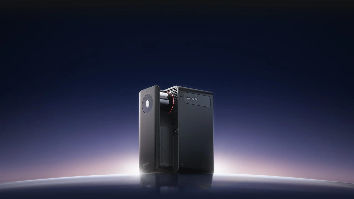
Faster scans, denser clouds.
- <±10 mmAccuracy
- 100 mScan range
- 300 MP / 24KPanoramas
- 8 minPer 100 m²
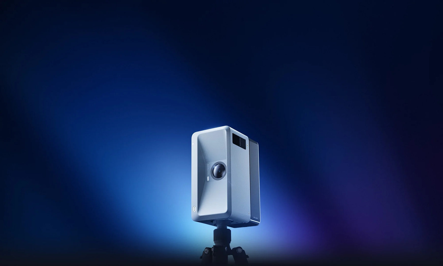
Full-day capture, 16K clarity.
- ±20 mmAccuracy
- 25 mScan range
- 134 MP / 16KPanoramas
- 8 hrBattery
Multiple deliverables.
Virtual tours
16K and 24K panoramic tours, navigable in any browser.
Point clouds
Colourised E57 and PLY, ready for BIM or CAD.
2D drawings
DWG plans, sections and elevations.
Floor plans
Measured floor plans with room areas.
3D models
OBJ, GLB, GLTF and FBX exports.
Offline tours
An offline 3D tour option for archiving.
Plain answers.
01What’s the difference between the M2 and the P4?
The P4 is the step up: sub-10 mm accuracy, 100 m range and 320 MP / 24K panoramas with a dense point cloud. The M2 is a 16K camera with ±20 mm accuracy and an 8-hour battery, built for full-day property capture.
02What can I do with the output?
Panoramic virtual tours, colourised point clouds (E57, PLY), Scan-to-BIM Revit models, 2D DWG drawings, measured floor plans and 3D model exports. One site visit, multiple deliverables.
03Are these good for real estate and property?
Yes. Fast capture, high-resolution panoramas and browser-shareable tours, with accurate point cloud data underneath when you need measurements too.
04Can I see one before buying?
Demos can be arranged, and for some projects hire is the better call than purchase.
Not sure which one fits?
Book a free 15-minute call with Louis. Straight answer, no upsell.