
Support planning & upgrades
- Capture terrain, vegetation, paths and infrastructure in a single spatial record
- Identify erosion, wear or accessibility issues early
- Support future works, upgrades and renewal planning with visual context
Gold Coast · Brisbane · Northern Rivers and beyond
Open space asset management
Gain a comprehensive visual record of your trail networks with high-precision 3D site documentation, supporting planning, maintenance, compliance and long-term stewardship.
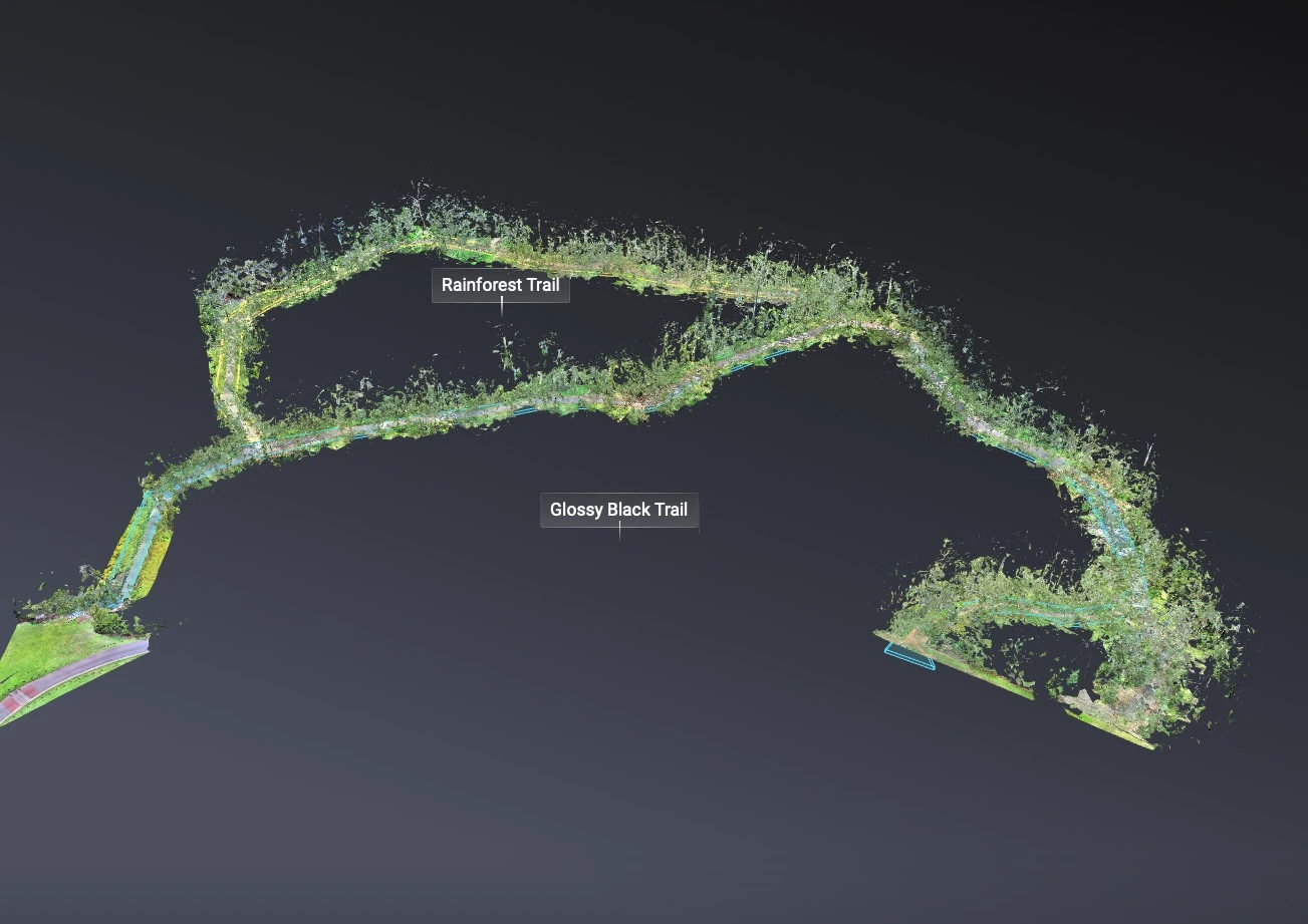
3D site documentation provides a clear digital record of terrain, vegetation, paths, structures and public infrastructure, helping asset and land managers make informed decisions with confidence.
Whether managing parks, coastal areas, reserves or recreation spaces, a visual site model supports condition assessments, maintenance planning, upgrades and compliance by providing a shared spatial reference across teams.
3D scanning provides a unified spatial record of terrain, pathways, public infrastructure and vegetation. This enables regional asset management teams to monitor erosion, coordinate maintenance scopes, and conduct remote safety audits with confidence.
Talk to a local specialist. Custom quotes within 24 hours.
Get a quote