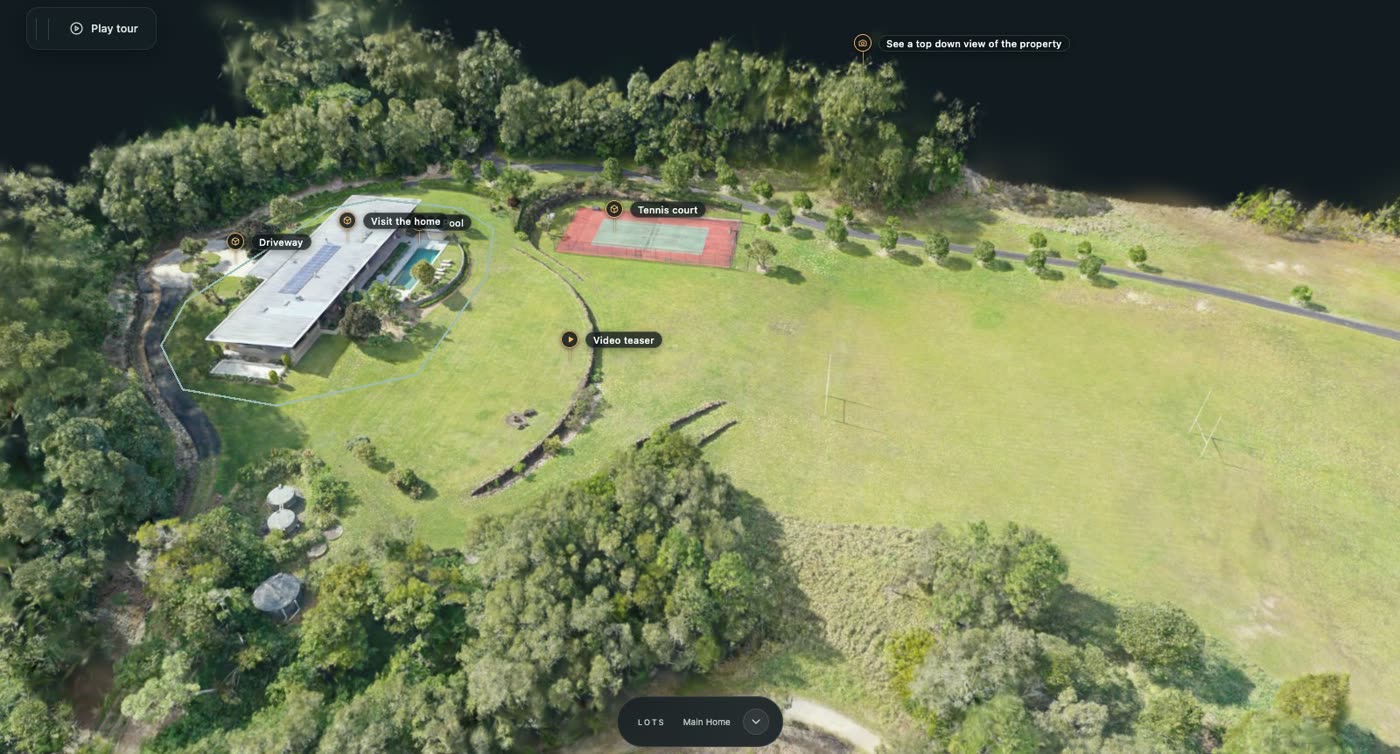
Site Atlas transforms fragmented project documentation into a centralised, spatially connected digital record, improving project visibility, reducing information loss and supporting decisions throughout a property’s lifecycle. The clearest way to see what that means is on a real estate, so this is how it works on King Forest, a 69-lot estate captured by drone.
Take the King Forest 3D tour →
The problem on an estate
An estate is built lot by lot, by many builders, over many months. The documentation ends up scattered: plans in one folder, photos on phones, progress reports in emails, a site walk that nobody recorded. When someone asks what stage lot 44 is at, or what it looked like three months ago, the answer means a phone call and a drive.
What King Forest shows
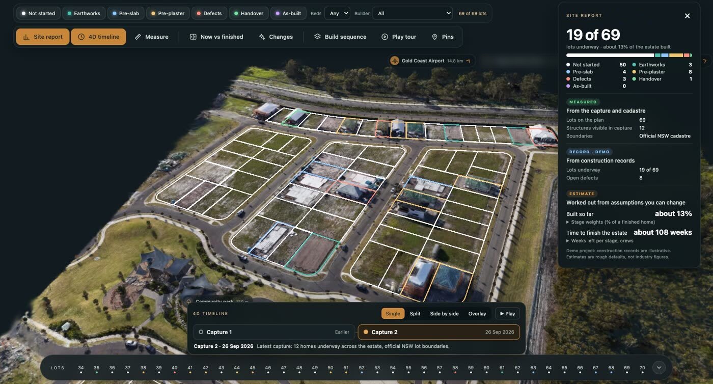
The whole estate on one map. Drone captures of the site, opened in any browser with nothing to install.
Every lot on its official boundary. The 69 lots are outlined from the cadastre, so a lot is a lot, not a rough sketch.
Build stage at a glance. Each lot is coloured by its stage, from not started and earthworks through pre-slab, pre-plaster and defects to handover.
A record behind every lot. Open a lot to see its stage, area, plans and photos in one place, and pin a photo, video or 3D walk-through to the exact spot it was taken.
Change over time. The estate was captured on more than one date, so you can compare captures and see what has been built or moved in between.
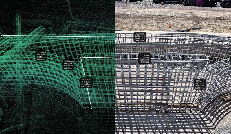
Measure and share. Take measurements in metres on the map and share it by a private link, protected by a password if you want it closed.
Please note: the drone captures are real. The lot details and construction records in this demo are examples for illustration. Site Atlas is spatial documentation, not a certified survey.
What it means for construction documentation
The project manager sees every lot’s stage without a site visit.
The stage-by-stage captures (pre-slab, pre-plaster, defects and handover) hang off the lot they belong to, instead of living in separate folders.
If a question comes up months later, the dated capture is attached to the lot and one link away.
See it, then see it on your project
Fly over the estate in the King Forest tour. To see how Site Atlas would work on your own estate, tower or portfolio, book a walk-through.
Related Kybos resources
Read about the Construction Dossier, dilapidation capture and drone services.